Navassa Island
The Forgotten Caribbean Territory
About Navassa Island
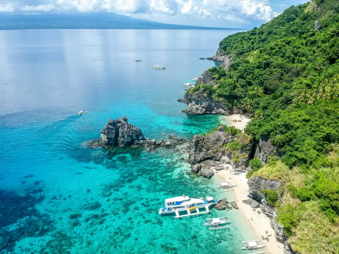
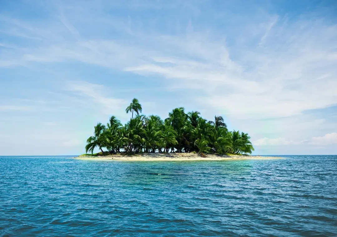
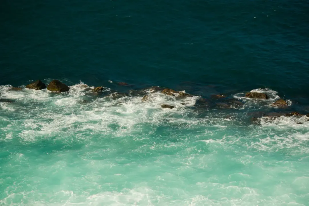
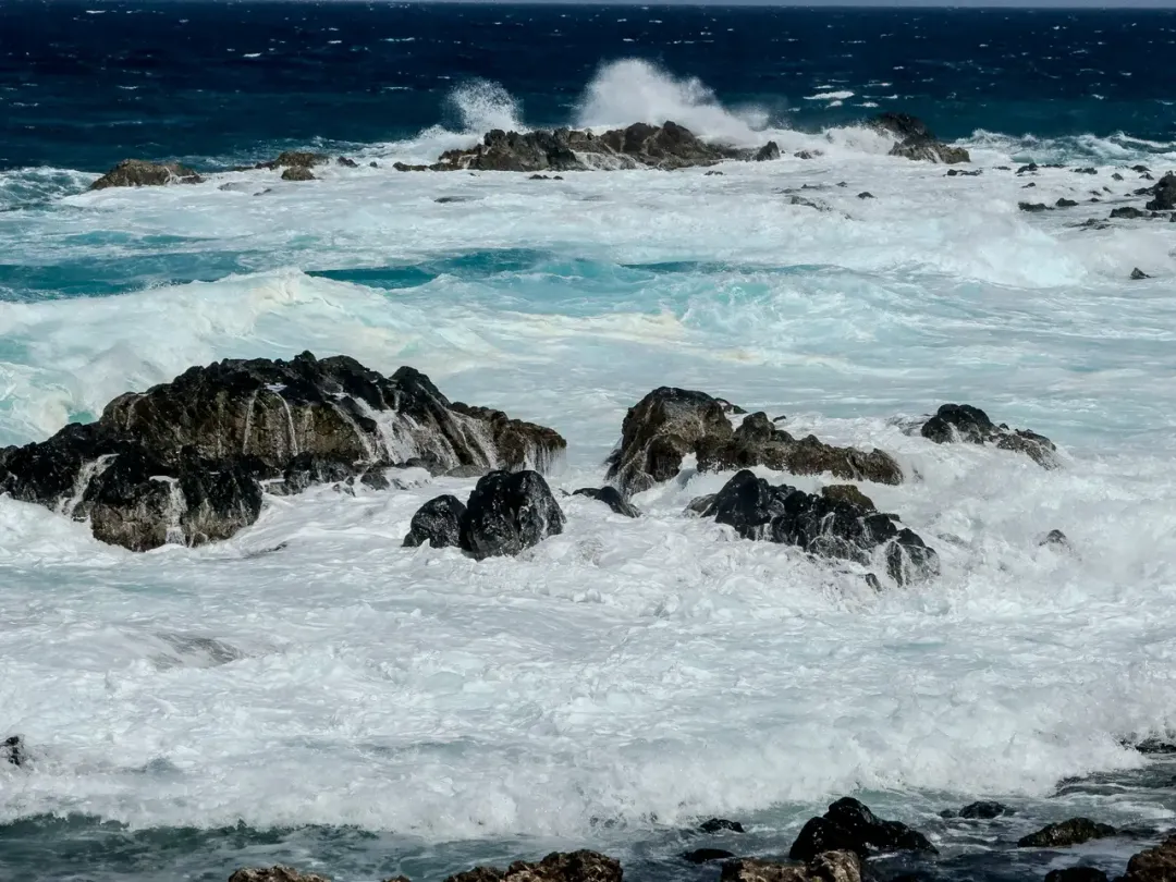
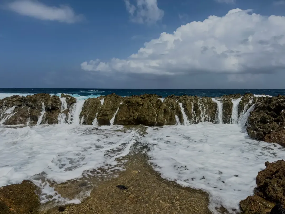
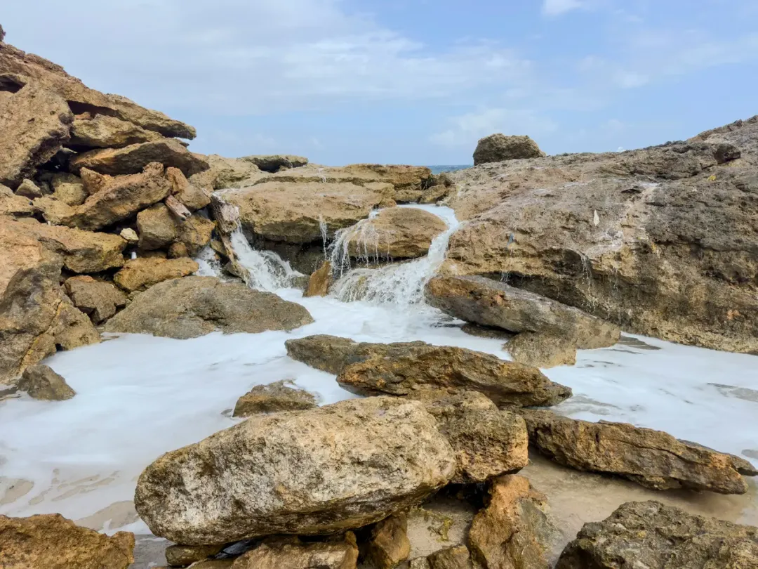
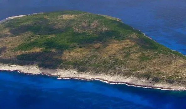
Navassa Island is a small, uninhabited island located in the Caribbean Sea between Jamaica and Haiti, covering approximately 2 square miles. This remote territory is under U.S. administration, claimed under the Guano Islands Act of 1856 for its phosphate deposits, though Haiti has maintained a claim to the island since 1801. The island's terrain is characterized by a raised plateau surrounded by steep cliffs that rise directly from the sea to heights of 30 to 250 feet, making access extremely difficult except at a few small beaches. Navassa's isolation has preserved its natural environment, creating a haven for biodiversity both on land and in the surrounding waters. The island is home to several endemic species, including four lizard species found nowhere else in the world, as well as numerous seabird colonies. The waters surrounding Navassa feature pristine coral reefs with exceptional marine biodiversity, attracting scientific interest despite the challenges of accessing the area. Human history on the island includes the construction of a lighthouse in 1917, which operated until 1929 and whose ruins remain the most significant man-made structure on the island. From the 1850s to the early 1900s, the island was mined for guano (bird droppings used as fertilizer), with the difficult conditions leading to a revolt by workers in 1889. Today, Navassa is managed as a National Wildlife Refuge by the U.S. Fish and Wildlife Service, with access restricted to scientific research expeditions. The island's remote location, lack of fresh water, difficult terrain, and restricted status make it one of the least visited places in the Caribbean, with no tourism infrastructure and extremely rare visits except by scientific teams, occasional fishermen from Haiti, and very infrequent expeditions by amateur radio operators seeking to make contacts from this rare location.
Size
2 sq mi (5.2 km²)
Population
0 (uninhabited)
Language
N/A (U.S. territory)
Currency
N/A (uninhabited)
Time Zone
UTC-5 (Eastern Time)
Best Time to Visit
December to April (though visits are restricted)
Highlights
Best Things to Do in Navassa Island
Navassa Island is, for all practical purposes, off-limits to visitors. This two-square-mile speck of raised limestone between Jamaica and Haiti is a National Wildlife Refuge managed by the U.S. Fish and Wildlife Service, and landing on the island requires a special use permit that is granted almost exclusively to scientific researchers and government personnel.
That said, understanding what exists on Navassa is worthwhile for anyone fascinated by remote places and Caribbean history. The island is a flat-topped limestone plateau surrounded on all sides by sheer cliffs rising 30 to 250 feet from the sea, with only a handful of notches in the rock where a small boat can approach. The terrain above is dense, thorny scrub forest that harbors at least four endemic lizard species, including the Navassa curly-tailed lizard, found nowhere else on earth.
Seabird colonies - boobies, noddies, and tropicbirds - nest on the cliffs in large numbers. The most visible human artifact is the ruins of a 162-foot lighthouse built in 1917 by the U.S. Lighthouse Service, which operated until 1929 and now stands as a deteriorating concrete tower visible from passing ships.
Below the surface, Navassa's isolation has produced some of the most pristine coral reefs remaining in the Caribbean. Scientific surveys have documented exceptionally high coral cover, healthy fish populations, and species diversity that rivals anything in the wider region - largely because almost no one dives here. The island's darkest chapter is its guano mining period from the 1860s through the 1890s, when African American laborers were brought to extract phosphate-rich bird droppings under brutal conditions, culminating in a revolt in 1889 in which workers killed several overseers. The resulting trial in federal court raised significant questions about labor rights and territorial jurisdiction. For the rare researcher or wildlife official who does set foot on Navassa, the experience is one of genuine remoteness - no fresh water, no shelter beyond what you bring, and a landscape that feels genuinely untouched by the modern world.
Scientific Research Expeditions
The only legitimate way to visit Navassa is through a scientific research permit from the U.S. Fish and Wildlife Service. Past expeditions have focused on marine biology, ornithology, and herpetology. The Center for Marine Conservation and the U.S. Geological Survey have led notable surveys documenting the island's biodiversity.
Coral Reef Surveys
Navassa's surrounding reefs are among the healthiest in the Caribbean, with coral cover and fish biomass far exceeding degraded reefs elsewhere in the region. Researchers have documented over 250 fish species and extensive elkhorn and staghorn coral colonies. These surveys are critical to understanding what healthy Caribbean reefs should look like.
Seabird Colony Observation
The island's cliff faces host significant nesting colonies of red-footed boobies, brown boobies, brown noddies, and white-tailed tropicbirds. Ornithological surveys have recorded tens of thousands of breeding pairs. The lack of introduced predators like rats has allowed these colonies to thrive.
Endemic Reptile Documentation
Navassa is home to at least four endemic lizard species, including Cyclura cornuta onchiopsis (the Navassa rhinoceros iguana, now likely extinct) and the Navassa curly-tailed lizard. Herpetological expeditions study these populations to understand island biogeography and extinction risk.
Lighthouse Ruins Exploration
The 1917 lighthouse, built by the U.S. Lighthouse Service, stands 162 feet above sea level at the island's highest point. Though no longer operational and deteriorating, it remains the most prominent human structure on the island and a landmark for passing ships.
Amateur Radio Expeditions (DXpeditions)
Navassa holds the callsign prefix KP1 and is one of the rarest entities in amateur radio. DXpeditions to Navassa are exceptionally rare - only a handful have occurred in the last several decades - and each generates enormous interest from the global ham radio community.
Where to Stay in Navassa Island
There is no accommodation on Navassa Island, and there never has been in any conventional sense. The island has no buildings, no shelter, no fresh water, and no infrastructure of any kind beyond the deteriorating lighthouse ruins. The few scientific expeditions that have landed on Navassa bring all supplies by boat, set up temporary camps, and leave no trace when they depart.
There is no nearby island with tourist facilities either - Navassa sits roughly 35 miles west of Haiti's southwest peninsula and about 100 miles south of Guantanamo Bay, Cuba. The closest Haitian town with any services is Jérémie, a port city with very limited tourist infrastructure. Researchers typically stage from Jamaica or from U.S. Coast Guard or NOAA vessels. This is not a destination that any traveler can realistically plan to visit. If you are interested in Navassa from a historical or ecological perspective, the best approach is to follow the scientific literature and the occasional documentary that covers expeditions to this forgotten territory.
Where to Eat in Navassa Island
There is no food on Navassa Island. The island is uninhabited, has no fresh water source, and supports no agriculture.
The few people who have set foot here in recent decades - scientists, wildlife officers, and the occasional amateur radio operator - brought every provision with them by boat and carried all waste off the island. Haitian fishermen who occasionally shelter in Navassa's lee during rough weather carry their own supplies.
If Navassa interests you as a subject of study rather than a travel destination, the closest place where you might contemplate this remote rock over a meal is Jérémie, Haiti, where waterfront vendors sell grilled fish and fried plantains. In Jamaica, the western coast towns of Negril and Montego Bay offer full dining infrastructure and lie roughly 100 miles to the east. But to be direct: Navassa is not a place you eat. It is a place you read about.
Best Time to Visit Navassa Island
The theoretical best window for approaching Navassa is December through April, when Caribbean seas are generally calmer and weather more predictable. Even in ideal conditions, landing on the island is extremely difficult due to the surrounding cliffs and lack of any harbor or dock - small boats must navigate surge and swell to reach the few accessible rock shelves.
Summer and fall bring the highest hurricane risk, and Navassa's exposed position in the open Caribbean makes it particularly vulnerable to storm damage. The island's restricted status means that weather windows are largely irrelevant for all but permitted researchers, who coordinate closely with the U.S. Fish and Wildlife Service and typically use specialized vessels capable of handling the challenging approach.
Hotels in Navassa Island
Search for available rates by selecting your travel dates
No hotels found near Navassa Island.
Top Restaurants in Navassa Island
Popular dining spots near Navassa Island
No restaurants available for Navassa Island yet.
Weather in Navassa Island
Average Temperature
75°F to 85°F (24°C to 29°C)
Rainy Season
May to October
Hurricane Season
June to November
Best Time to Visit
December to April (though visits are restricted)
Travel Tips
- Visits are restricted to scientific research with special permits
- No facilities or fresh water are available on the island
- Access is extremely difficult due to surrounding cliffs
- The island is claimed by both the U.S. and Haiti
- Special permission from the U.S. Fish and Wildlife Service is required
- Not a tourist destination due to access restrictions
Get Navassa Island Travel Tips
Subscribe for curated tips, deals, and inspiration for your Navassa Island trip.